
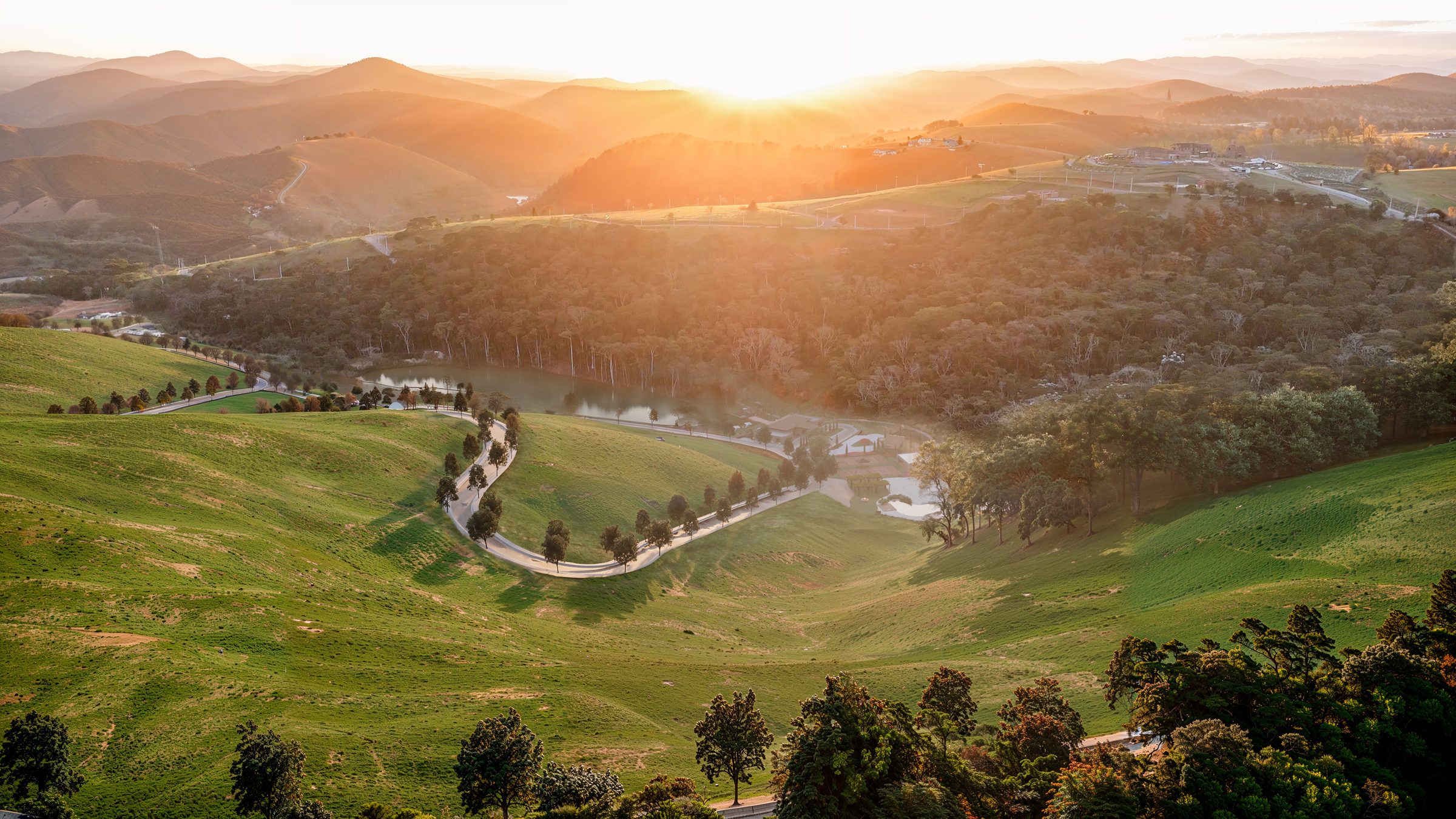
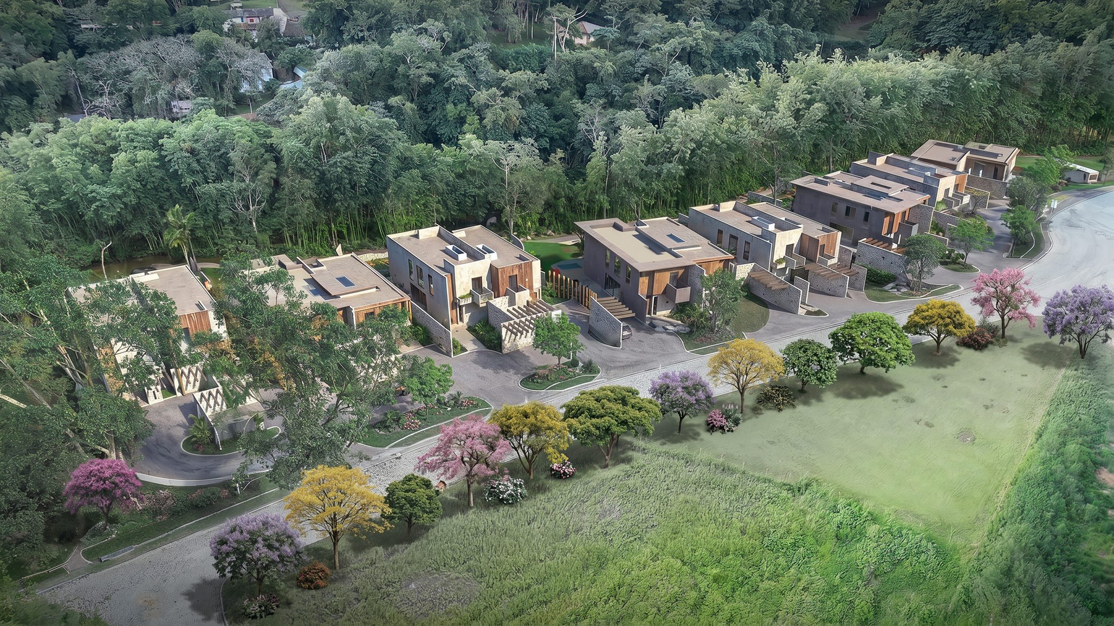
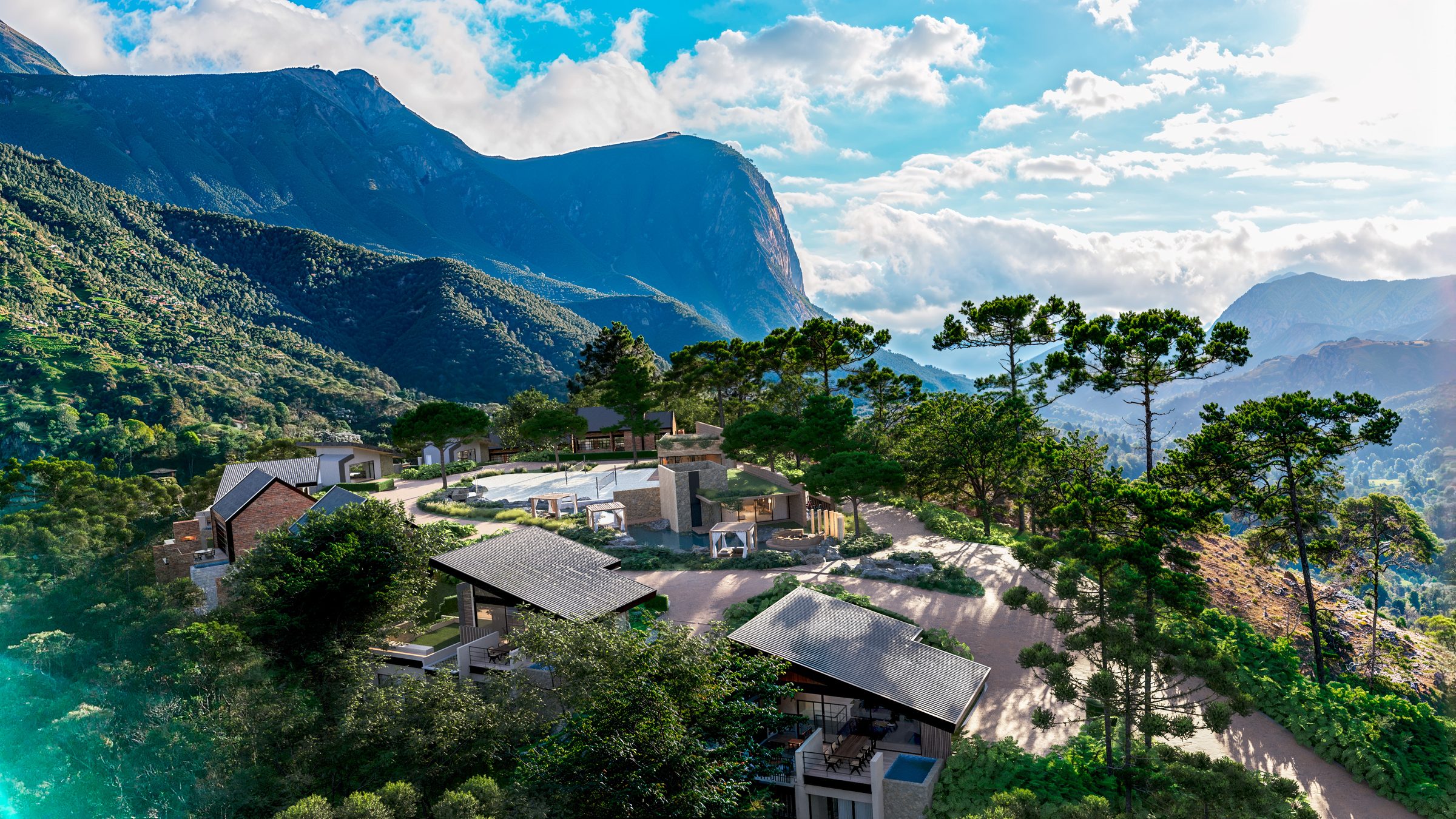
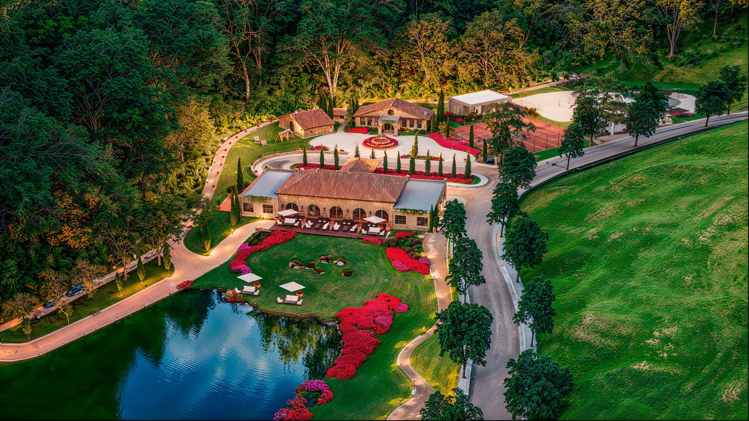
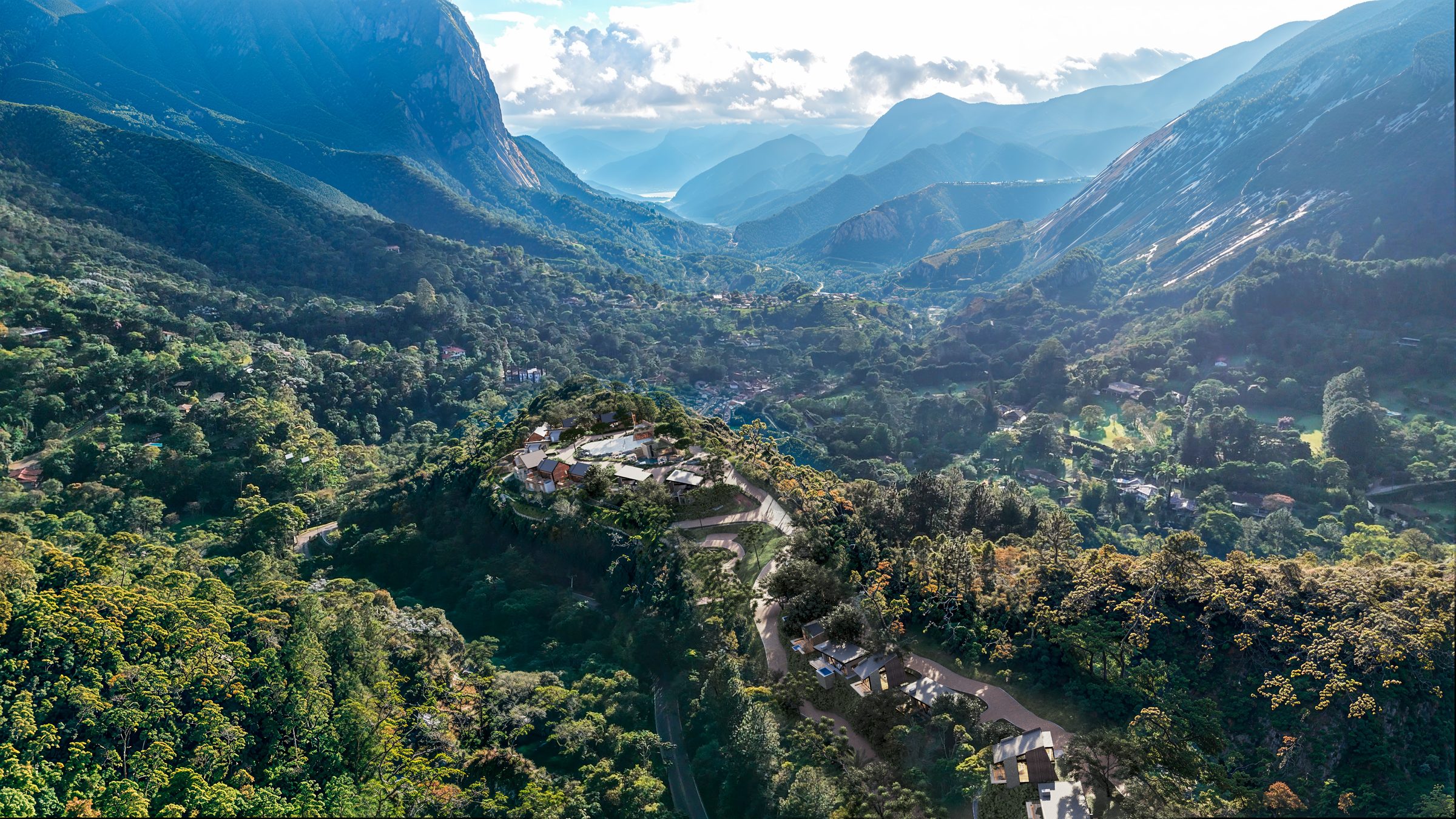
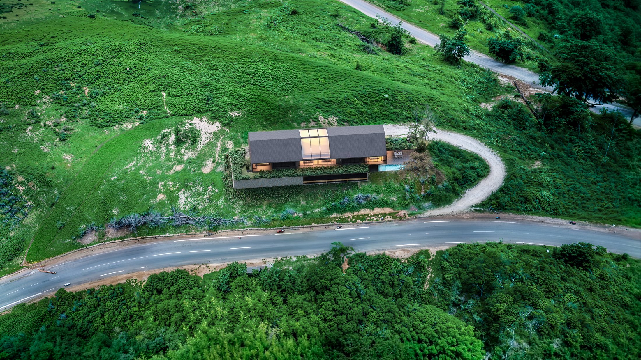
Aerial rendering of the whole community, on the real land
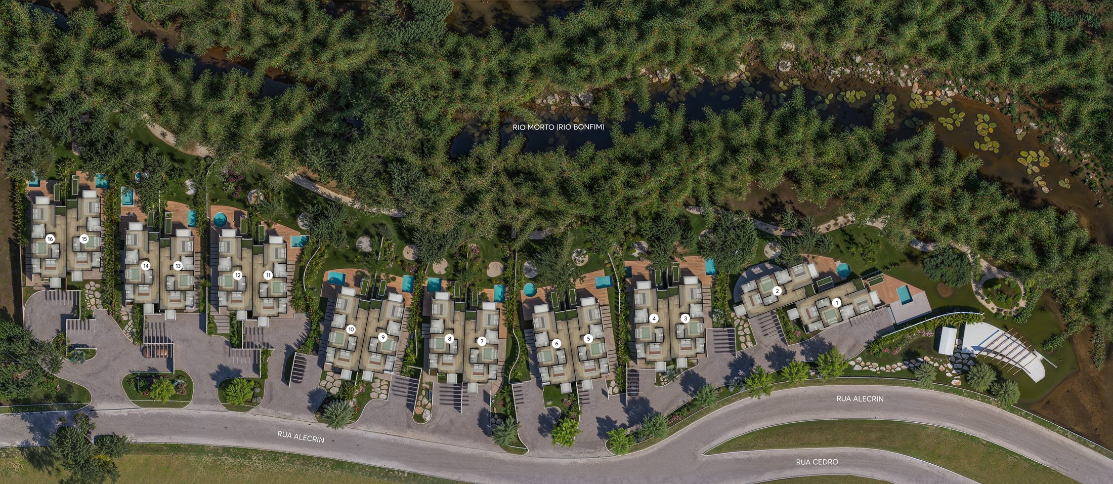
One image that shows the size of the project, the amenities and what’s around it. We render it fully in 3D or place the project into drone photos or footage of the actual site.
Everything that comes with it
- Full 3D aerial or the project composited over your drone photo or footage
- Real surroundings: streets, tree lines, water and the skyline
- Lot numbers, labels and points of interest for site maps, on request
- 4K final image
- Drone footage compositing for films, quoted with the animation
- Two revision rounds
Who uses it most
Master-planned communities
The scale of the project, the amenities and the green space in a single image.
Multifamily and mixed use
The building in the city, with the distances that matter to buyers and renters.
Build-to-rent communities
The whole community at once: streets, homes, amenities and green space.
From the first call to the final files
- 01
A 20-minute call
Project, deliverables and deadline. You get a fixed quote within one business day.
- 02
Deposit and kickoff
A deposit books the production slot. You send drawings and references; we send the camera views for approval.
- 03
Previews and revisions
You comment right on the image, online. Two revision rounds per image are included.
- 04
Final files
High-resolution files are released when the balance is paid, sized and named for each channel.
3D aerial or drone photo?
With a photo or footage of the site, the surroundings are real and the image is more convincing. Without one, we build the context in 3D from maps and terrain data.
Do we need to hire a drone pilot?
If you already have drone photos, we use them. If not, we send a shot list to a local pilot, or we do it fully in 3D.
How much does it cost?
Aerial renderings start at US$ 1,500 per image. The price depends on the size of the site and how much context goes into the frame. You get a fixed quote within one business day.
How long does it take?
Typically 5 to 10 business days, longer for very large sites. The deadline goes into the contract.
Have a project with a launch date?
Tell us what you have and we’ll send a fixed quote within one business day.
Get a quote